Government maps 18 counties for El Niño risks ahead of October rains
Key points
- Authorities have prioritised 18 counties for El Niño-linked risk planning as above-normal rains are expected from October 2026.
- Kenya Meteorological Service Authority cites about 81 per cent probability of a strong El Niño and 97 per cent chance effects continue into early 2027.
- NDOC mapping covers flash floods, landslides, drought, disease outbreaks and infrastructure damage; Nairobi, Mombasa and Kisumu are listed as high-risk urban centres.
- Coast, Lake Basin, Rift Valley and North Eastern counties face different mixes of flood, drought, livestock loss and food-insecurity risks; response plans may expand.
Eighteen counties now sit on a national shortlist for El Niño preparedness — not because every ward will flood or dry out the same way, but because planners want named maps before the October rains window opens, Eastleigh Voice reported from a government press release.
The Kenya Meteorological Service Authority puts the chance of a strong El Niño near 81 per cent, with roughly 97 per cent probability that related effects stretch into early next year. The National Disaster Operations Centre risk assessment flags flash floods, landslides, drought, disease outbreaks and infrastructure damage. National and county multi-agency emergency teams are being put on high alert and briefed on roles as the season approaches.
Coast floods, Rift extremes, ASALs under drought watch
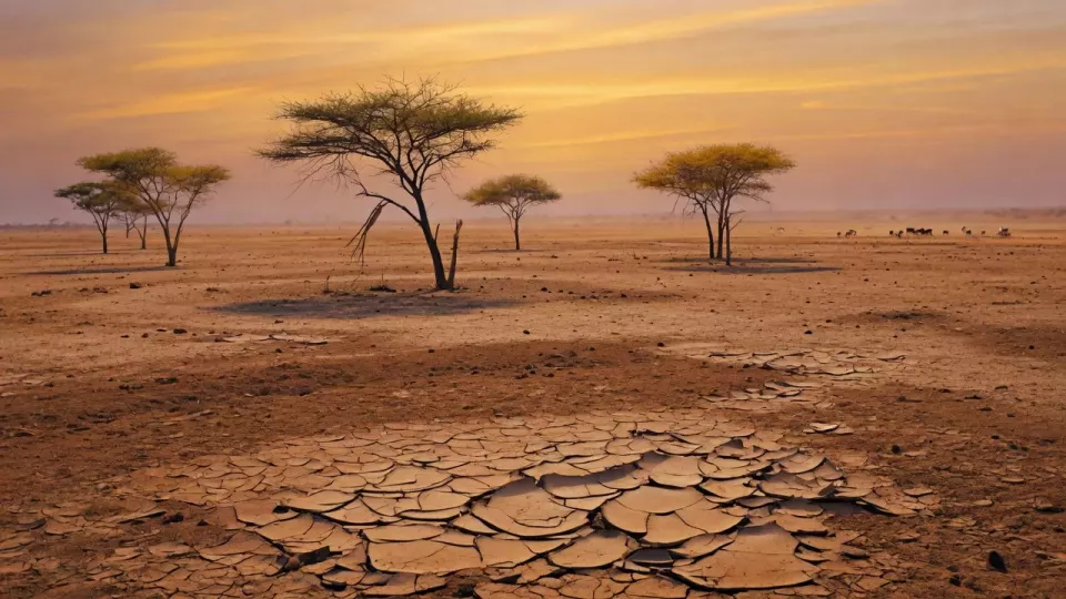
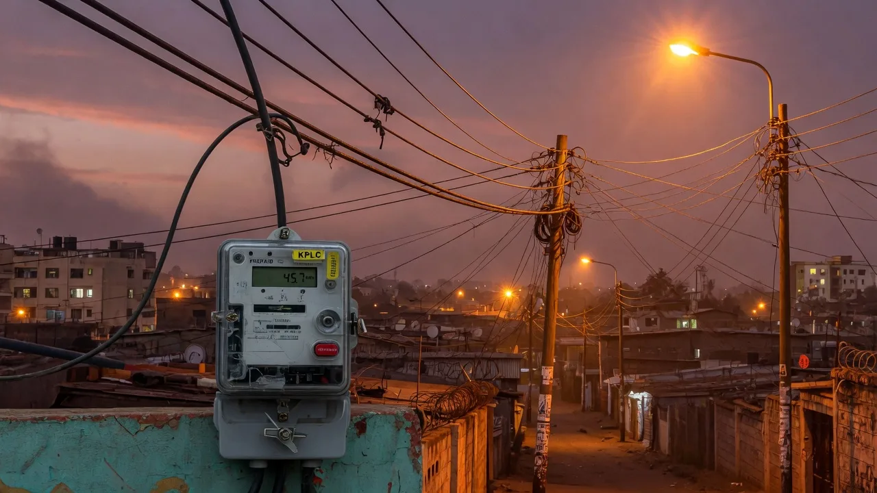
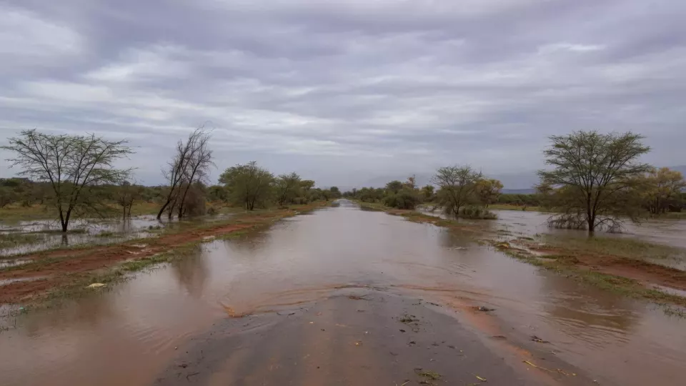
On the Coast, Tana River, Kilifi, Lamu, Mombasa and Kwale are associated with flooding, storm surges, coastal erosion, infrastructure damage and possible displacement. Lake Basin counties Kisumu, Busia, Siaya, Homa Bay and Migori face flooding, landslides, disease outbreaks and displacement risks. In the Rift Valley, Turkana, Baringo, West Pokot and Narok appear against drought, flash floods, landslides, livestock losses and food insecurity. North Eastern focus counties Garissa, Wajir and Mandera are tied to drought, water shortages, livestock losses, poor pasture and food insecurity. Nairobi, Mombasa and Kisumu are separately called out as high-risk urban centres for flooding, blocked drainage, infrastructure pressure and service disruption.
Officials stress effects will not be uniform: some areas worry more about water, others about washouts. Counties can be added if experts expand the vulnerability list. Environment desk: Environment. Verified probability language, agency roles and county clusters from Eastleigh Voice; the release did not publish a single national contingency shilling figure in the same summary. Related earlier context on national readiness messaging is tracked on the news desk as forecasts update.
County CECs for water, health and roads now have a checklist window measured in weeks, not slogans: drainage unblocking, livestock feed buffers, clinic surge stocks and bridge watchlists. Probabilities are not guarantees — but unfunded maps after October will be harder to defend.
Based on Eastleigh Voice reporting of government/KMS El Niño risk mapping (Abdirahman Khalif, 10 August 2026). Forecast probabilities are not event guarantees; official bulletins control updates.