Kenya Maps Wildlife Corridors as New County Conservation Bill Advances
Kenya is pressing forward on two fronts to overhaul how it manages and protects its wildlife estate, combining cutting-edge transboundary science with a sweeping new legislative framework aimed at giving county governments clearer authority over the animals and ecosystems within their borders.
Mapping the Routes Animals Take
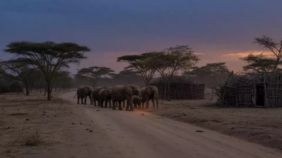
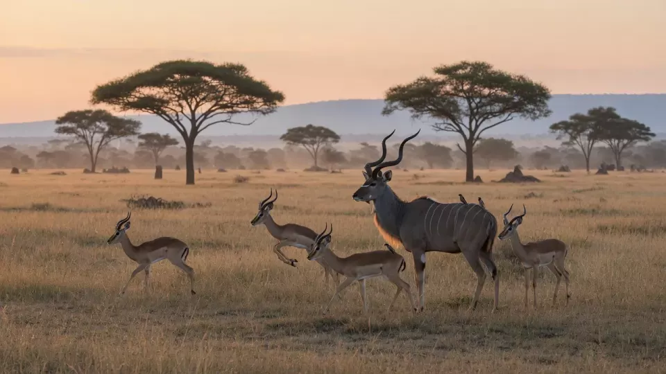
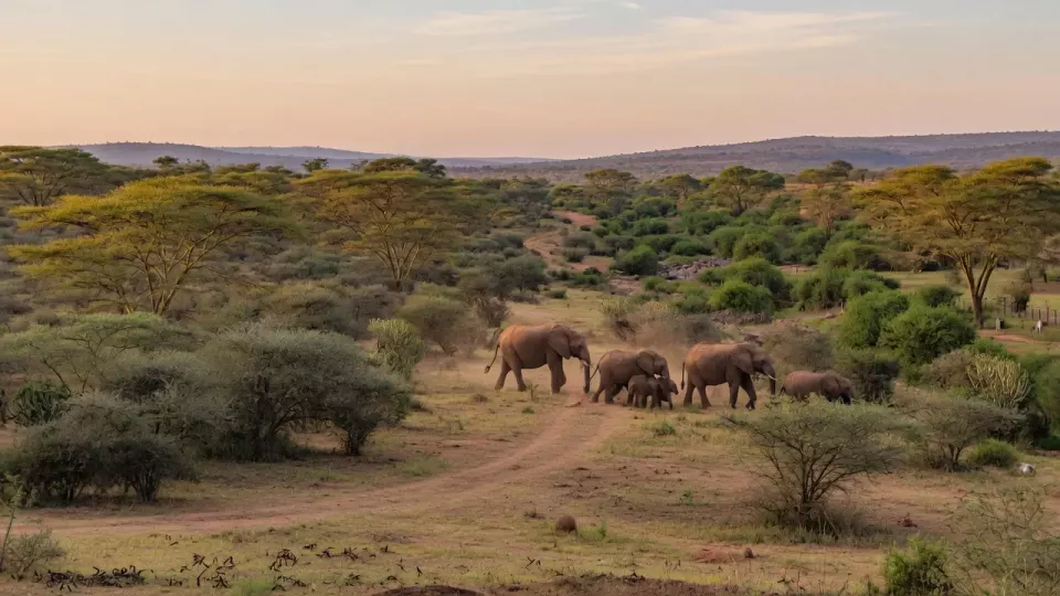
A new atlas mapping wildlife movement corridors across northern Tanzania and southern Kenya was launched in 2026, providing conservation managers on both sides of the border with the first comprehensive scientific tool of its kind for the region. The atlas documents the seasonal routes used by elephants, lions, wild dogs, zebra, and other species as they traverse the vast landscape linking the Maasai Mara ecosystem in Kenya with the Serengeti and surrounding protected areas in Tanzania.
Counties Take Centre Stage
Kenya's Council of Governors convened a landmark three-day meeting in Machakos in May 2026 to scrutinise the Draft County Wildlife Conservation and Management Model Bill, 2026. Key provisions would require counties to reinvest a defined share of wildlife-related revenues directly back into conservation and community programs.
A New National Framework on the Horizon
The State Department for Wildlife is simultaneously drafting a comprehensive new Wildlife Conservation and Management Bill to replace the 2013 Act. The proposed legislation would establish a Kenya Wildlife Regulatory Authority and a National Wildlife Tribunal to adjudicate disputes.