US government map of Africa mislabels countries — AI watermark spotted
Key points
- A US government-linked conference map mislabelled African countries.
- Reporting noted an AI watermark on the image.
- Critics treat the gaffe as a competence and respect issue.
- Official events need human QA on maps, not raw generative art.
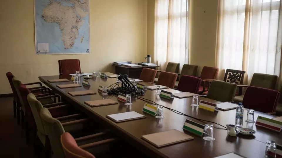
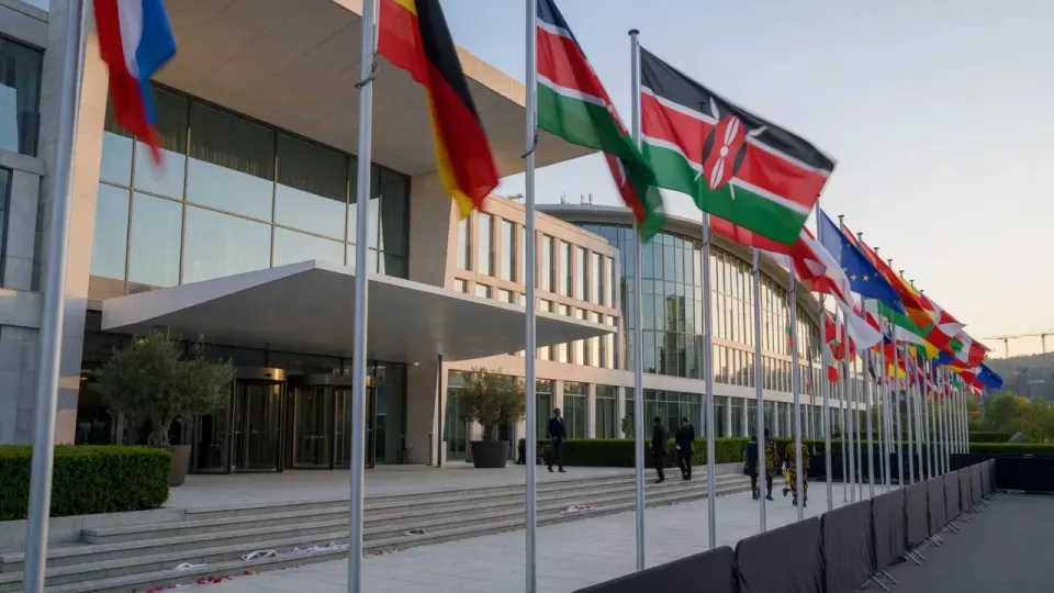
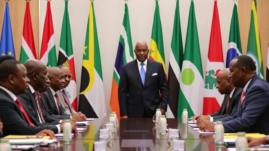
A United States government-linked map displayed at a global conference mislabelled African countries, with reporting noting an artificial-intelligence watermark on the image — a double embarrassment over accuracy and process.
Nation.Africa said the map’s errors were clear enough to circulate widely, turning a backdrop graphic into a diplomacy story about attention to Africa’s basic geography.
An AI watermark does not prove malice, but it does raise questions about clearance: official venues should not ship unvetted generative art as authoritative cartography.
For African delegates, such mistakes sit in a longer pattern of external stages that speak about the continent while failing elementary checks.
The fix is boring and correct: human geographic review, licensed map basemaps, and the same sign-off standards used for speeches.
Policy substance at the conference still matters more than a prop — yet props shape whether audiences trust the rest of the message.
Sources: Nation.Africa. This report paraphrases publicly available reporting; it does not republish third-party full text.